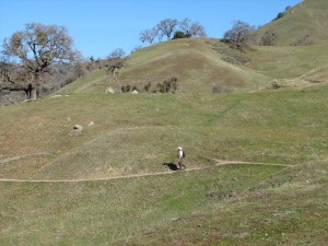
 Dan and I went caching in Sunol Regional Park today. Our original target was the Maguire Peaks area, but there was a possibility of being the first to find a cache in the Little Yosemite area, so we hiked there first. Another cacher found it earlier in the morning. It was a very pleasant day (shirtsleeve temperatures) and the grass was starting to green up nicely.
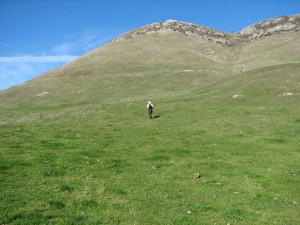 One of our goals was this peak—actually a string of three peaks—but this was the tallest one. It’s rocky around the top, and there are some small cliffs.
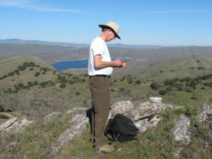 From the top we had a good view of San Antonio Resevoir.
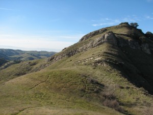 We descended from the peak down the little cliffs. It took us a little hunting to find a spot we thought we could handle.
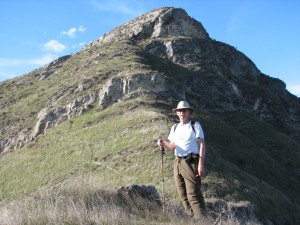 This one looks a little more rugged, but was actually easier to get down. I was pretty tired when we finished. Our distance was around 7 miles and we did have a couple of steep sections, but I need to get in better shape.
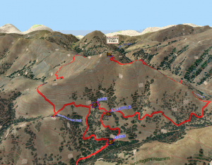 Here’s the track we followed.
Looks cool. How far is the hike from trail head to peak top? This spot here http://s-hq.com/wp-content/uploads/2009/01/img_7516.jpg looks like a good location for a sunrise/sunset shot but I wouldn’t want too long of a hike in the dark.
Geotagging photos would be a great help, and I’d like to do that, but I’m not there yet. I think the spot referred to is at N37° 32.66 W121° 49.818. Taking the Lower Maguire Peaks trail (single track) it would be around 1 to 1.5 miles in, depending on how much bushwhacking you do. The shortest of course would be the steepest, but I don’t think it would cause you a problem.
i’ve read about this as i was researching on the history of hiking. wish i could go there too….