South as far as Nipomo

Today we grabbed coffee at Kelly’s and headed south on Highway 1, past San Luis Obispo. Our first stop was in the Shell Beach area near Pismo. I found I Spy! quickly at 8:40 AM. Even though there were several folks around looking at the views, the cache hiding spot was blocked from their view. The next stop was at Shell Beach, a virtual where you have to count the number of steps down to the beach. Finished this at 9:09 AM. We looked for quite a while for Dinosaur Rock (I remember the dinosaur from my younger days), but it turns out the cache was archived just after I downloaded my pocket query.

Our next stop was in Arroyo Grande. As we took the off-ramp, Karen noticed a Trader Joe’s and wanted to shop, so I dropped her and went on to find a couple of nearby caches. Dewey’s Dusty Trail was pretty easy. Found it at 10:22 AM. Next I went for By Grace. Took me a while to find the right road, but then it was easy to find at 10:34 AM.

Elvis 'n me, Arroyo Grande

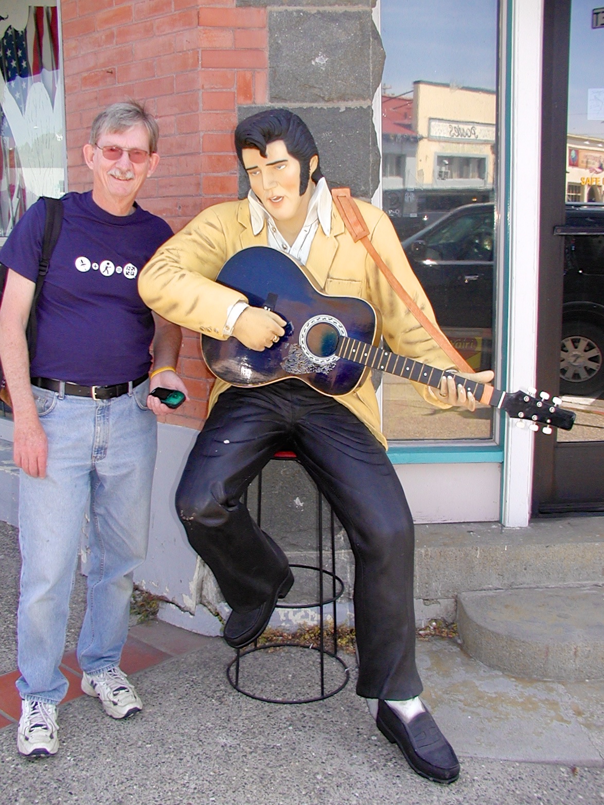
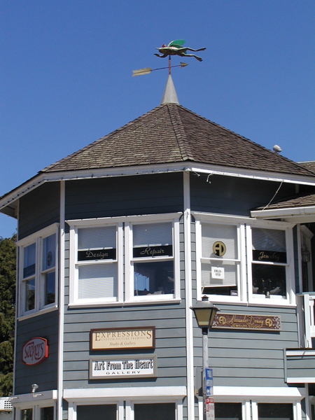
Elvis ‘n me, Arroyo Grande

Picked up Karen and drove over to Stuff Mart which was in the same general shopping center. We found this one at 11:06 AM and then drove to downtown old Arroyo Grande. Found Verde Grande at 11:27 AM. It’s in an overhead girder in a bridge built in 1908. Then while Karen shopped in the stores, I looked for some other downtown caches. Found How Now Hooscow! at noon. Karen took a picture of me with a fiberglass statue of Elvis so I could claim Frozen In Time locationless. Got this one at 12:05 PM. Then I got Fire Fire Fire… Thanks AGFD at 12:23 PM. This was a very public place. This was a clever attempt at camo but it didn’t come off too well because dirt kept falling into the cache holder. Also, one object (scissors) was too large and I couldn’t get the cache to fit back in the container without taking it.

Since we were getting hungry, and a guy we talked to at Shell Beach recommended Jocko’s in Nipomo, we went to eat there. Unfortunately, the lunch steaks aren’t prepared over the barbecue–but it was good, although the restaurant is packed with tables and kind of plain. After lunch, we just walked over to grab Jocko’s Juxtaposition at 1:41 PM. I was looking for a magnetic cache and couldn’t find it. Then Karen said what’s this paper? Turns out the key holder must have been muggled, but the log was left. I signed the log and returned it where I found it.

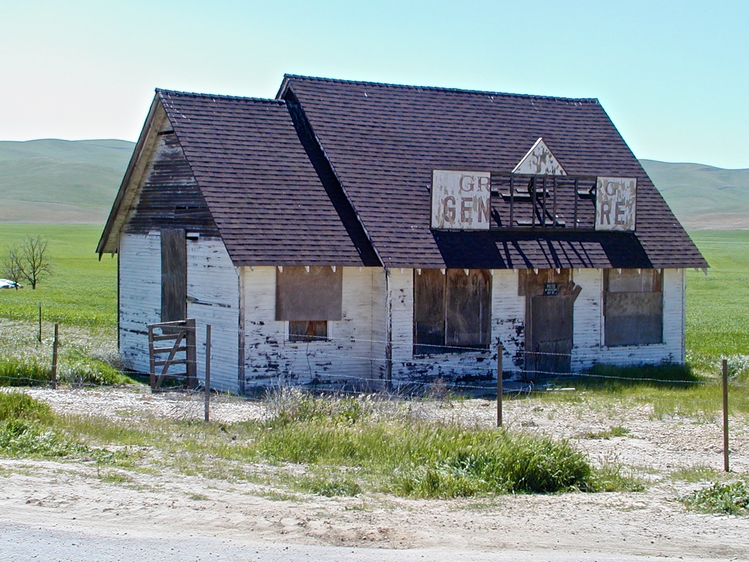
It was just a short drive to Downtown Nipomo History Lesson, which I found at 1:55 PM. It was stuck in a guard rail on main street. Then we drove east out of town and a little ways on a dirt road to get Nipomo Foothills Lookout Point at 2:58 PM. And then we got Gateway to the Nipomo Cache Trail at 3:15 PM. I had to crawl around looking for this one for a while.

We returned to Arroyo Grande for an ice cream sundae at Doc Bernstein’s, and then grabbed A Great Big Arroyo Grande Welcome at 4:23 PM. Next we got Never on Sunday at 4:30 PM, just a short distance away. Talk about easy to find—can’t miss it. Drove to the west side of town and walked down a par course trail to find “J”iggle-free zone at 4:42 PM.

Fisherman's memorial, Avila Beach

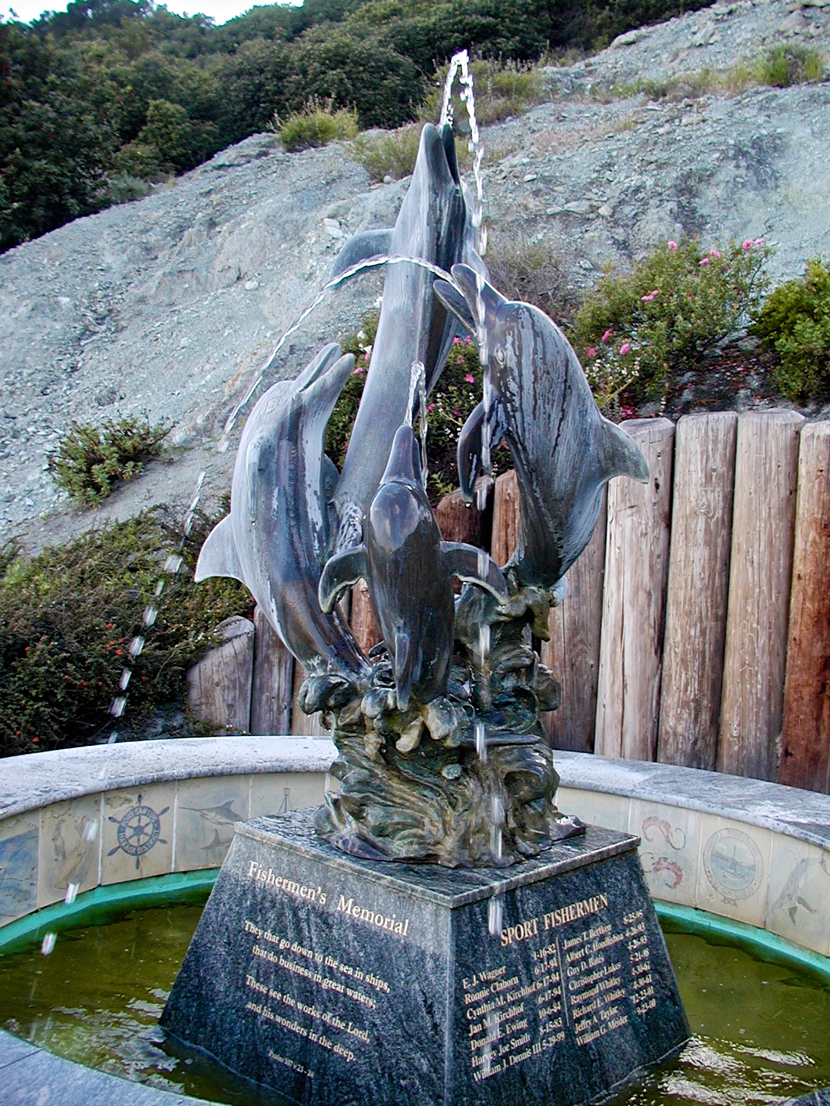
Fisherman’s memorial, Avila Beach

Well, that was a wrap for Nipomo and Arroyo Grande, so we started back to Cayucos, but detoured into Avila Beach and found Pier Pressure (a virtual) at 5:30 PM. Hunted for Another Flippin’ Cache, but I’m not sure if coords were spot on, and there were too many rocks to search under.

The last one for the day was The O.K. Corral just outside of Morro Bay on Highway 1. Found it at 6:24 PM.

Montaña de Oro and San Simeon

On April Fool’s day we relaxed with a cup of coffee at Kelly’s in Cayucos before heading to Montaña de Oro state park. We found Koala de Oro at 9:04 PM in a grove of the most mishapen Eucalyptus trees I’ve ever seen. Next we looked for Raven’s Watch, but after searching a bit we moved on and got Hide in Plain Sight at 9:53 AM under the edge of the bridge. We then hiked the bluff trail to “As Far As You Can Go”. We found a letterbox quickly, but the cache was not evident. Given it hasn’t been found since last October, it’s probably gone. Since we had to retrace our path, we stopped at Raven’s Watch again, and this time found it at 10:50 PM.

OLYMPUS DIGITAL CAMERALeaving Montana de Oro, we headed north to Cambria, where we had lunch at Robin’s. Just across the street from Robin’s, I spotted this unique weather vane, so I claimed How Vane is it locationless cache.
OLYMPUS DIGITAL CAMERA

After some shopping, we headed even farther north to find San Simeon Seal Spot at 3:00 PM. Even further north, where the highway starts to get high up the mountain (more like cliffs) I found Slide after a scramble down a thistle infested slope. On our return south, we stopped at San Simeon State Beach and hiked out on the boardwalk into the marsh and found Boardwalk at 4:33 PM.

On the way to Cayucos

Yesterday we brought Karen’s Mom back home and today we headed west on highway 46 towards Paso Robles, eventually to end up at Cayucos for a few day stay. West of Blackwell’s Corner, a small county road leads off to the southwest through Bitterwater Valley. There are a number of caches dropped along this road. It was scenic this time of year; hillsides were green and wildflowers were popping up.

Greenberg Store

Greensberg Store

We found Tower Gate at 11:12 AM followed by Why Ask Y? at 11:30 AM. Found BowJon at 11:44 AM, even though the coords were a little off (we were on the wrong side of the road). I thought better coords are N 35° 32.861 W 120° 059.27. This is claimed to be the site of a compressed air windmill, but it was too far away to make out any details. Then we got Gypsum Water at 11:54 AM; site of a large gypsum mine, but not much left. Pallet Town followed at 12:07 PM, then Greensberg Store at 12:21 PM. There were a few more on a side road, but we were getting kind of bored with this area.

James Dean memorial

James Dean memorial

We joined back up with highway 46 just west of Cholame. I had known for years that James Dean was killed in a auto accident near here–at the intersection of highways 41 and 46. I did not know that there was a memorial at Cholame, which is now a virtual cache; James Dean.

Just a few miles west is a rest stop (just before Shandon) where I found Take a Break at 12:52 PM. Then we took a short drive to the Shandon Cemetary to find The Ghost of Tomlin at 1:03 PM, where the coords are really off (by over 400 ft). I measured the coords as N 35° 40.155 W 120° 21.228.

We checked on one in a Paso Robles park, but it was so busy we didn’t even get out of the car. So we drove on to Atascadero, where we stopped at Atascadero Lake (in all the years, I don’t think I’ve ever stopped there) and found Fisherman’s Cache at 2:56 PM. We briefly looked for another one here, but it was hard to find.

Driving on toward Morro Bay, we stopped and grabbed San Gabriel bridge at eye level at 3:25 PM, followed by 3 bridge cache at 3:39 PM.

We decided we wanted to go to the San Luis Obispo farmer’s market for dinner, so I dropped Karen downtown to do some shopping while I went to grab a couple more caches. The first was Space Open Hill Terrace at 4:44 PM followed by Battlefield Park at 5:03 PM.